Run in Berlin - Berlin Wall tour
Distance : 14km / 8.6mi (*11.2km/ 6.9mi shorter route)
Elevation : flat
Direction : counterclockwise
Green/Parks/Pedestrian : 2.3km soit env. 16%
Urban constraints : low to medium
Hard roads, some paved
Suggested start : Friedrichstrasse train station.
As any urbirun route, you can start whereever you want. Watch for the route rotation direction.
Public Transportation : S-bahn or U-Bahn, Station Friedrichstrasse Bahnhof (S1, S2, S5,S7, S12, S25, S75, ou U6)

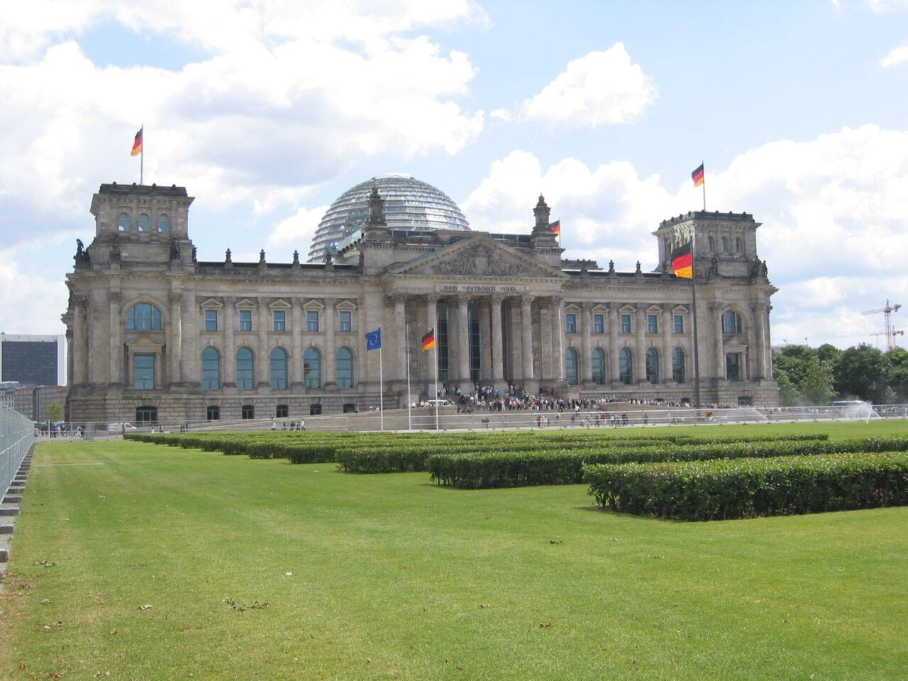
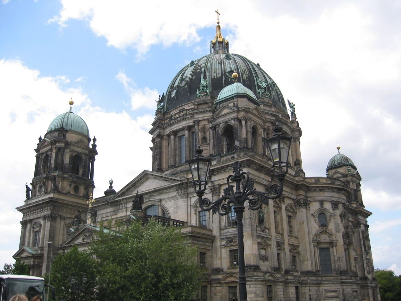
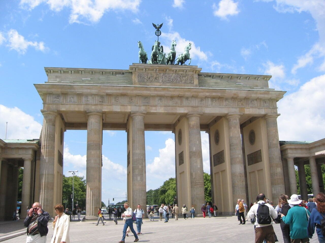
One morning The Berlin Wall was dividing the city. It lasted for nearly 30 years, and marked the history of this town, leaving a deep scar, still over 25 years after its fall. This route will guide you through the history of the Wall, you will run into History, passing through places, roads, squares, which we have all seen in pictures. The violence of family separation, the deprivation of liberty, the dramatic escape attempts, some of which have become very iconic, among the more than 100,000 East Berliners who tried to escape, of which 136 were killed in Berlin itself... An intense route, which meanders from one side to the other side of the wall, as a snub to history. Just running, simply, free... Enjoy...
*Alternative route : 11.2km/6.9m, shorter route, without InvalidenFriedhof and Spree)
You prefer to get the .gpx file of this tour, directly for your smartwatch or smartphone? get it here for less than an energy bar !
urbirun Berlin - Wall tour 12.9km/tour.gpxYou can as well run this unpublished and original route in East Berlin and along the Spree River, 9.9km, starting at Treptower Park station.
urbirun Berlin, East&Spree 9.9km/tour.gpx