Run in Lausanne - Lake
Distance : 18.5km/11.5mi (*9.2km/5.7mi or 11.2km/6.9mi)
Elevation : low
Direction : coutnerclockwise
Parks/Pedestrian : 9.8km/6mi (ca 53%)
Urban constraints : low
Suggested start : for the long route or the west loop : Vidy /for the long route or the east loop : Ouchy / As any urbirun tour, you can start where ever you want. Watch for tour direction.
Public transportation : underground M2 Ouchy station / Bus 1 or 6 (Maladière stations) or 2 (Théâtre de Vidy station).
With Lausanne Tourisme official support.


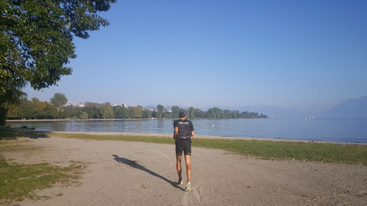
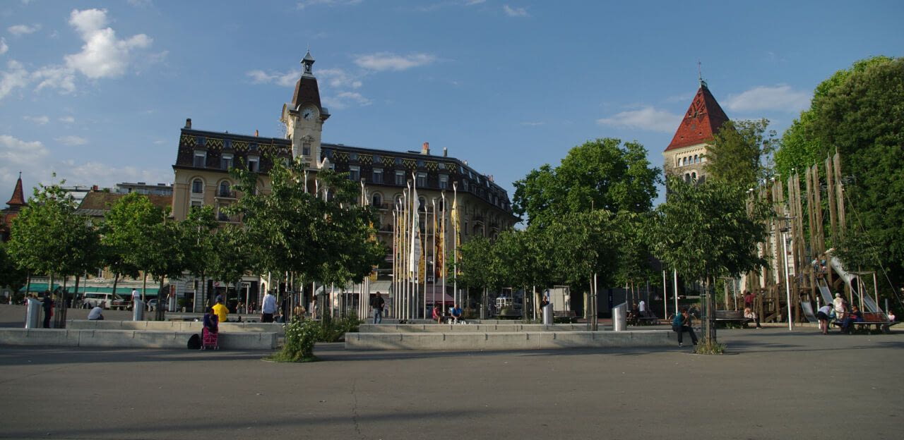
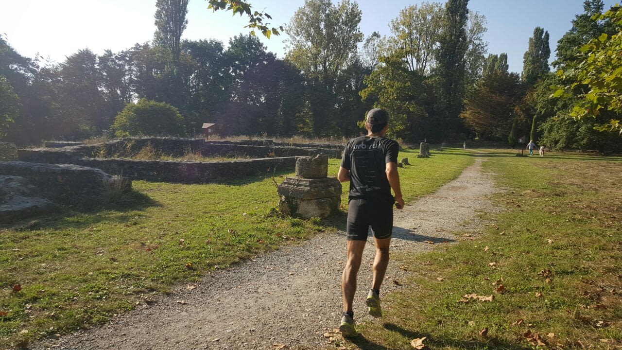
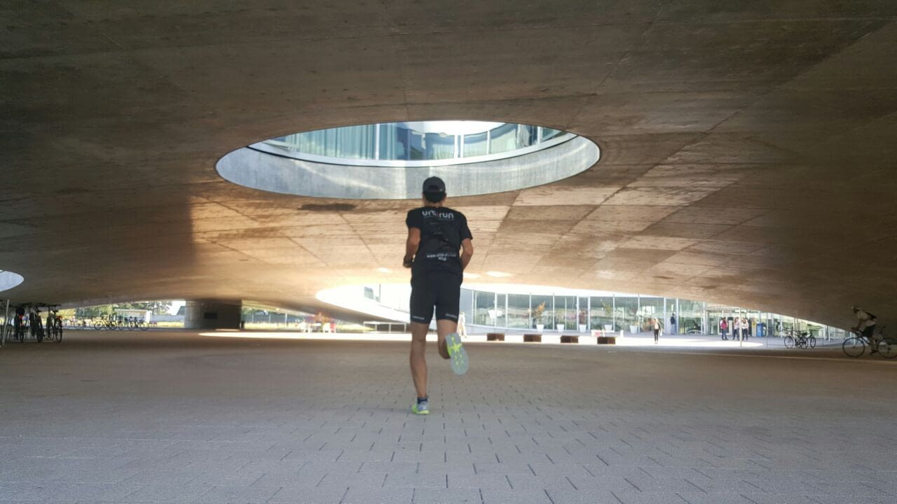
This tour explores the southern part of the city, also called "Sous-Gare" which translates to "sub-station". You will run through Vidy and Ouchy along the enchanting shores of Lake Geneva. You'll run through parks of some of the museums that give Lausanne its richness and charm. You will explore the campus of the University and the Federal Institute of Technology (EPFL), this student filled, dynamic, modern and creative city. Steeped in history with beautiful landscape, Lausanne is always looking towards the future.
*Alternative route : 3 different routes - 18.5km the long tour (map) / Ouchy (east loop) 11.2km / Campus (west loop) 9.2km
With the official support of Lausanne Tourisme

NB : in case of doubt, please feel free to check your position on the map and the track.
Lausanne Lake, the total loop 18.9km - en .gpxLausanne, Lake districts : Ouchy and Vidy 11.1km - en .gpxLausanne West and Campus 9.5km - en .gpx